West Hampstead Neighbourhood Map

Hand drawn map of the West Hampstead Neighbourhood in North West London, illustrating all the interesting places nearby The Nido Collection student accommodation. This was realised to be featured in The Nido Collection newspaper, Fall 2015 edition

CLIENT: The Nido Collection

PROJECT DATE: 2015

drawing_west_hampstead_map

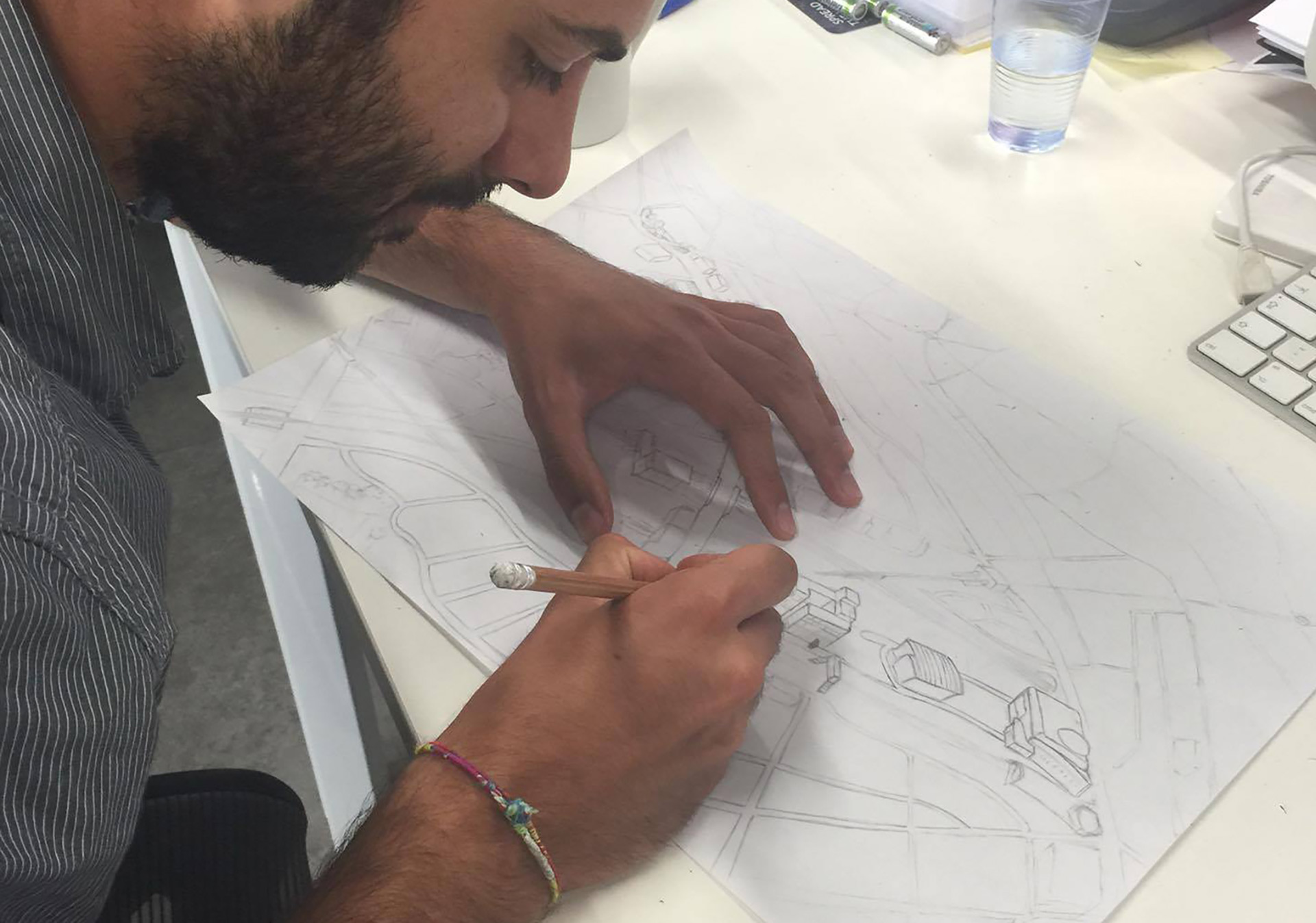
Drawing of the map by hand, just looking at Google Maps.

west_hampstead_map_scan

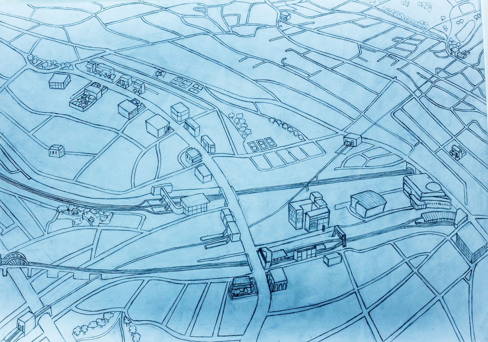
Finished the drawing the paper was scanned. Then contrast and brightness levels were increased with Photoshop.

west_hampstead_map_light_blue

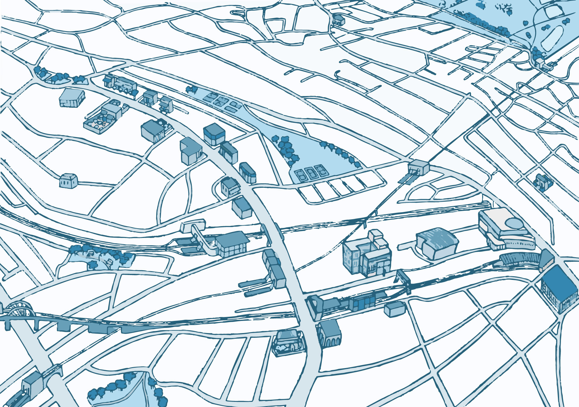
Trace Outline in 16 colours was applied with Illustrator. Then all the not necessary colours were deleted and the various traces adjusted.

west_hampstead_map_blue
west_hampstead_map_pastel_colours
west_hampstead_map_bright_colours

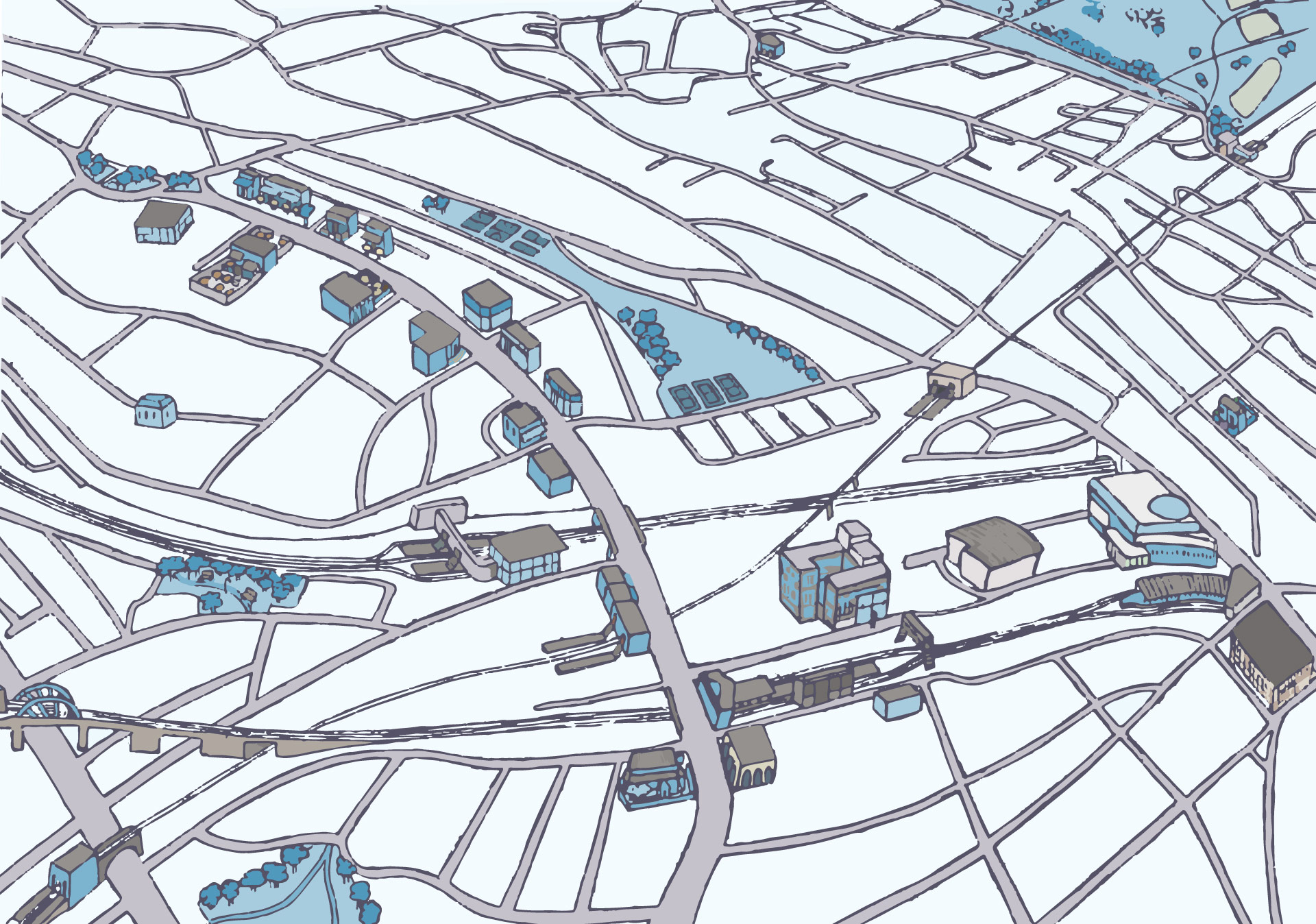
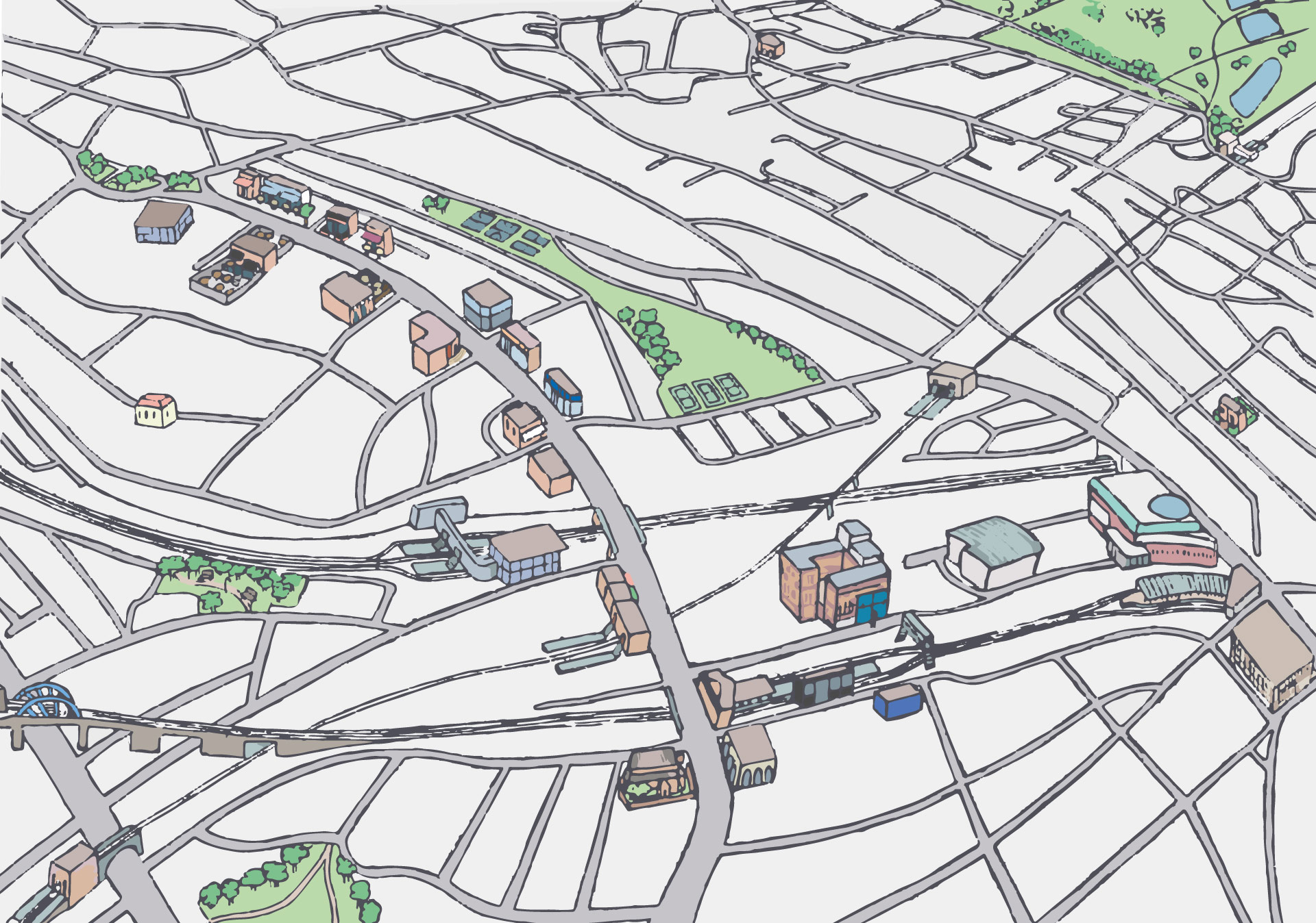
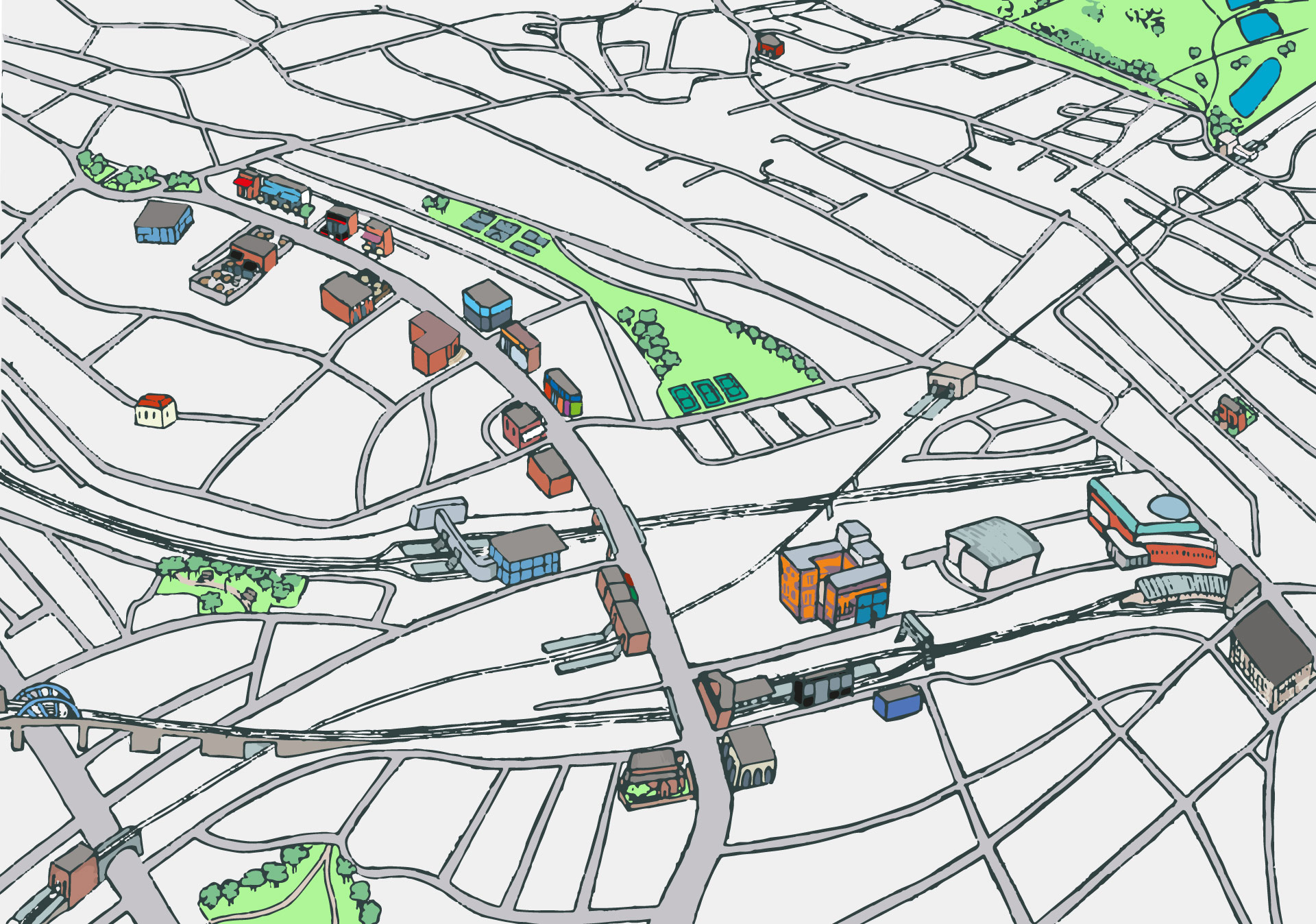
Different colour variations were tried.

west_hampstead_map_green

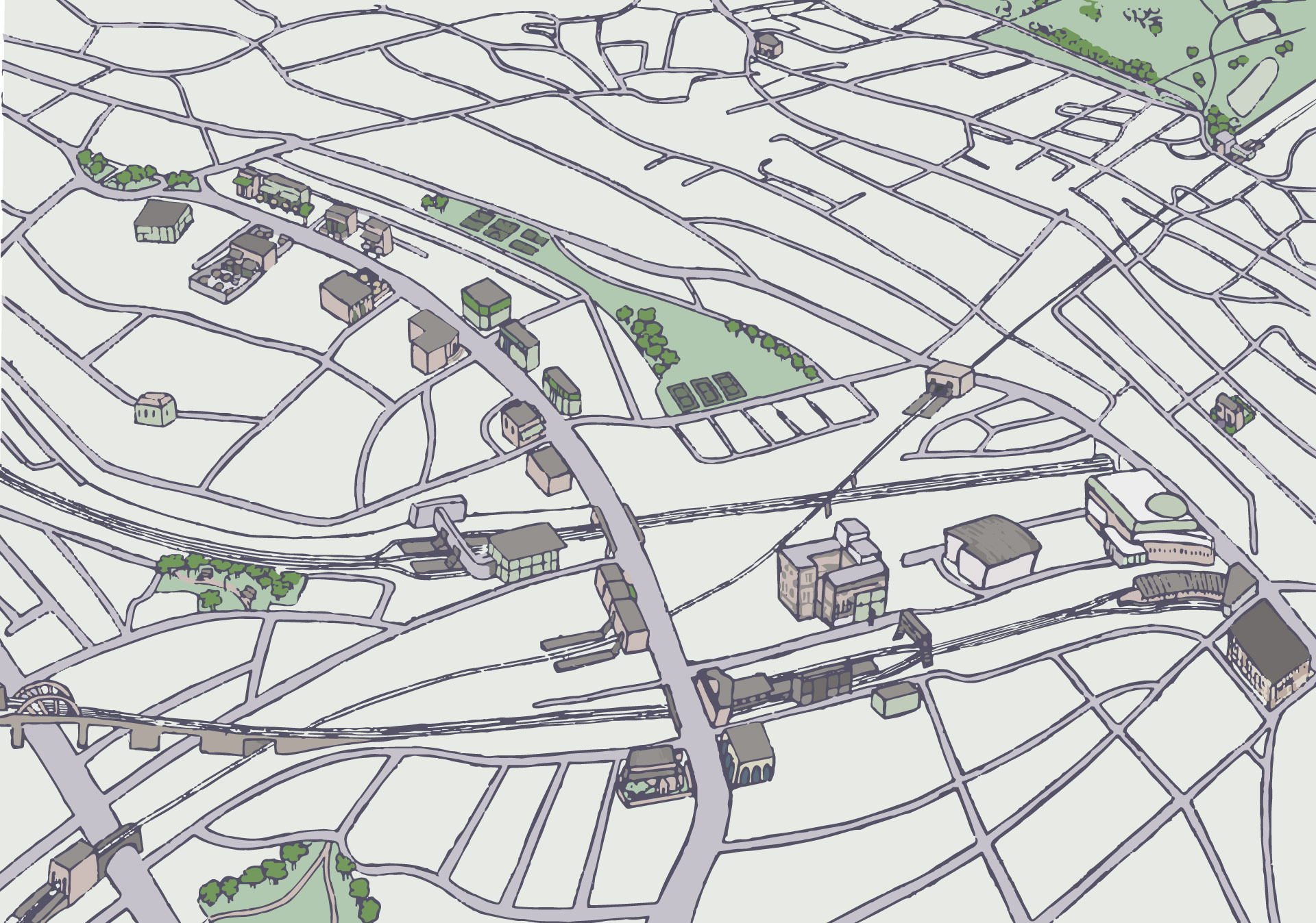
Eventually, the decision fell for a softer pastel-like colour combination, not too invasive and more in line with the rest of the newspaper.

west_hampstead_map_final

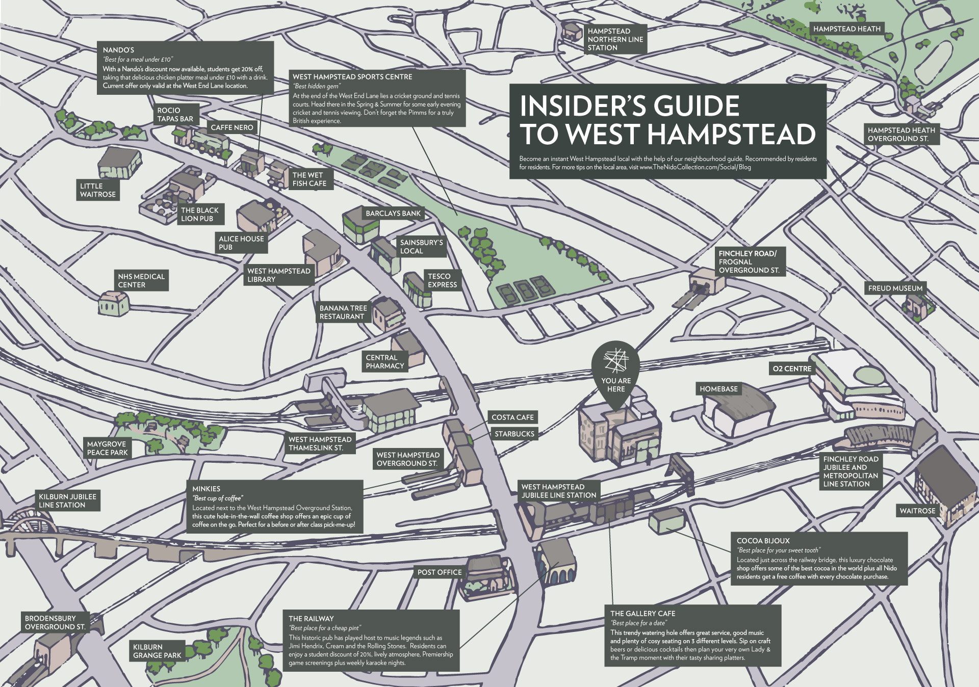
The final artwork with text boxes which was featured in The Nido Collection newspaper.

Privacy Settings
We use cookies to enhance your experience while using our website. If you are using our Services via a browser you can restrict, block or remove cookies through your web browser settings. We also use content and scripts from third parties that may use tracking technologies. You can selectively provide your consent below to allow such third party embeds. For complete information about the cookies we use, data we collect and how we process them, please check our Privacy Policy
Youtube
Consent to display content from - Youtube
Vimeo
Consent to display content from - Vimeo
Google Maps
Consent to display content from - Google